XWiki at Infoeducation
A couple of weeks ago took place the Infoeducatie computer science camp, and XWiki was there, to do a teaser presentation about our platform. I went there with Jerome and Thomas, who was visiting the Iasi office at that time. Although it's been happening for a while and it is the place to be for computer highschool students, I didn't go to the Infoeducation camp ever as a student, but fortunately I grew up to get there as a 'lecturer'.
Our "host" all through the days was Vlad Giurcanu, my computer science teacher from highschool who was there with his (successful) team of students.
We spent two days at the camp, its last two days (it's something around 6 days) and got the strong taste of the computer science at Galaciuc during the Infoeducation camp (in the very nice romanian mountains). We met a lot of interesting people and some of the smart kids there -- it is a very nice place to find out things, to have IT discussions and the crowd there is a very nice gang to hang around. I only wish I did this kind of things earlier...
Then, after the camp, we took a very detoured way home: we crossed the mountains towards Brasov to have lunch with my sister there (who was on holidays from Bucuresti), and to there, we went through Tg Secuiesc and to the Sf. Ana lake. After meeting my sister (I resaw her for the first time after returning from France therefore somehing around 6 months) we took the road back to Barlad through Oituz and Onesti. Vlad drove all this time, in his own very particular way of doing it, yet safe (I did live to write this post).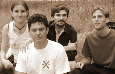
From Barlad, we, the Iasi guys, took the train to get to work next day, after a tiring weekend but very, very, very nice. And since the pictures (and maps) are worth another 1000 words, here you go: Thomas's and Vlad's (1 and 2) pictures from the camp, and a map I've created.
![]()
4 comments:
Buna, Anca! Jerome? :)
Cum ai estimat locatia Galaciucului pe harta?
well, basically I estimated bad, I just repositionned it a couple of minutes ago, to a closer to reality place. I used a combination of gmaps and map24.ro in my browser tabs, the latter featuring the DN2d road, with Lepsa and Tulnici on it (and Galaciuc is just somewhere in between) and then tried to identify the spot from maps24 to gmaps eye-wise, comparing terrain and using my natural abilities.
I only hope I'm very wrong and inefficient and there is a faster alternative...
Re-repositionned according to http://wikimapia.org/#lat=45.9038664&lon=26.6693115&z=11&l=0&m=a&v=2 , trusting a wiki more than my own senses :).
Waiting for google santa to bring Google Map Maker to our country
a nice week @ Galaciuc. And also a nice presentasion.
P.S. Thanks for the XWiki t-shirt :)
Post a Comment